
Conditioning for the Hunt - Day hike - Symphony Lake
Ladies, we had hoped to offer another overnight Condition for the Hunt in July. However, the organizers/leads are so busy we are forced to keep the much requested Symphony Lake event to a day trip. We will be including a special “educational topic” to the hike… lake fishing! :) This was a special request of huntress Kaci as she is an avid flyfisherwoman. We will be sending out a suggested gear list prior to the event and holding a Zoom to answer any questions you may have. We’ll set a date based on availability of attended hikers.
WHA Conditioning for the Hunt
Date: Saturday, July 18th
Meet Up Time: 8:00am
Trail(s): South Fork Valley Trail
Meet Up Location: South Fork Valley Trailhead. To get to the trail head, take Eagle River Loop/Hiland Drive exit off the Glenn Highway. Follow it onto Hiland Drive, turn onto Hiland Drive and follow it up and over the South Fork of Eagle River. Just after the South Fork Bridge, take a right onto South Creek Road and follow it to West River Drive where you'll take a right. The parking lot is on your left.
Parking Fee: $5 (can pay at the machine for State Park)
Distance: 11 miles
Intensity: Moderate
Elevation Change: 1528 ft
Estimated Time (one way): 3+ hrs
Educational Topic: Lake fishing.
Trail Description: From the South Fork Eagle River Trail parking area, it takes just a few minutes to climb above the trees to more open country. Once on the bench, high on the valley’s east side, the trail turns up the valley. You won’t yet see the lakes, but you will see the mountain near where they lie—Cantata Peak, the dominant mass that fills the valley’s upper end.
After about 1 mile of hiking up the bench, the trail drops into the valley and crosses a wide and substantial bridge over the South Fork Eagle River (which drains both lakes).
After winding its way up and down over bumps and ridges and through stands of spruce and aspen, the trail crosses to the far side of the valley.
There, it passes the unmarked Hanging Valley Trail on the left and turns right to head straight up the valley.
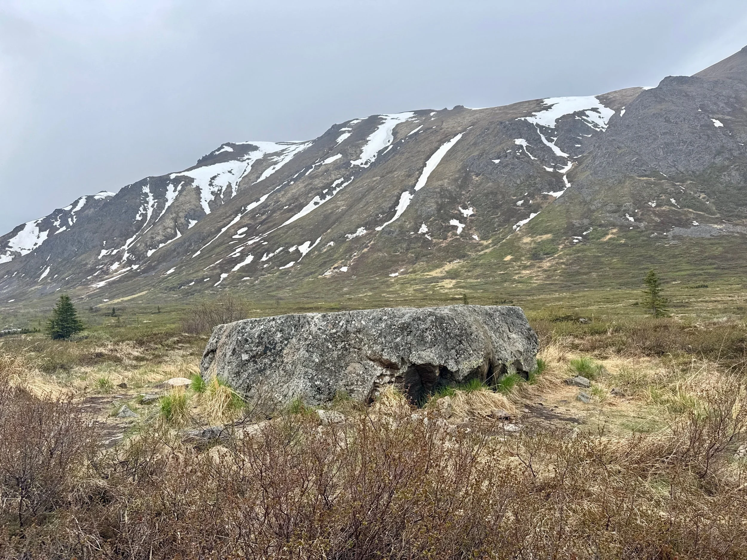
Before long you’ll reach a boulder some 5 feet high, in a clearing on the right. This makes a fine place for a quick break. It also makes a good vantage point from which to scout: From its top, particularly tall people may be able to see the waters of Eagle Lake.
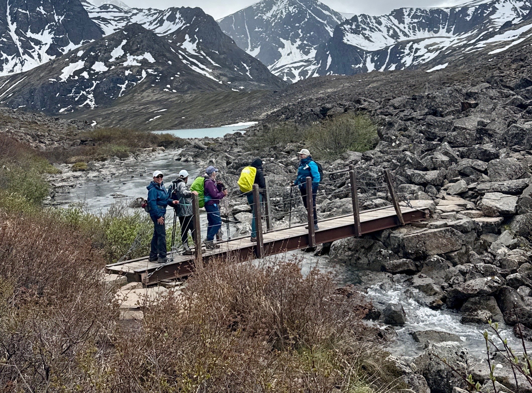
The trail climbs very gradually through some rough, rocky, and wet terrain; your next landmark is the small bridge that crosses the outlet of Eagle Lake.
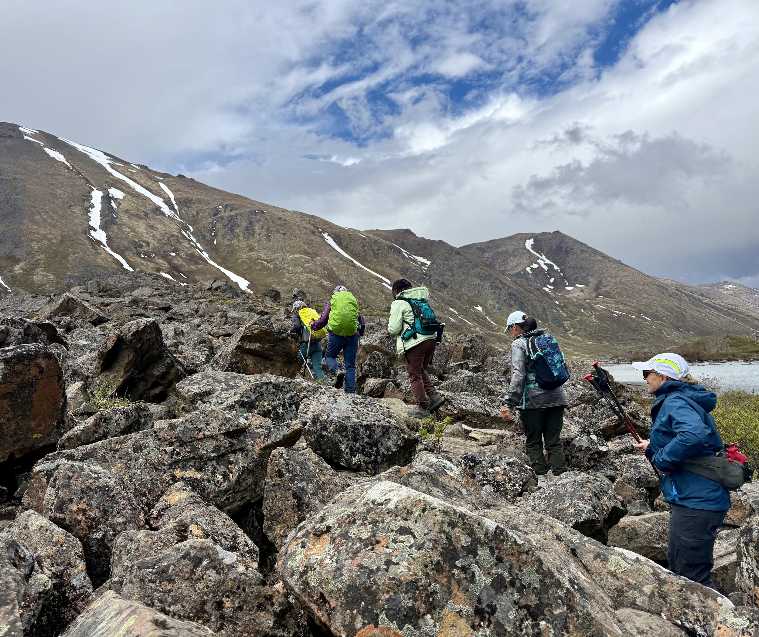
Across that bridge, the trail enters a large moraine field—piles of boulders left behind in a glacier’s passing. Here the footing turns especially tricky, and it is easy to lose the trail as it winds around and over the chaos of stones. After crossing the bridge, the trail bares to the right, follow the trail to the right and as the trail rises look to the left and follow the cairns in the distance. Just keep Eagle Lake within view on your left and head toward Cantata Peak.
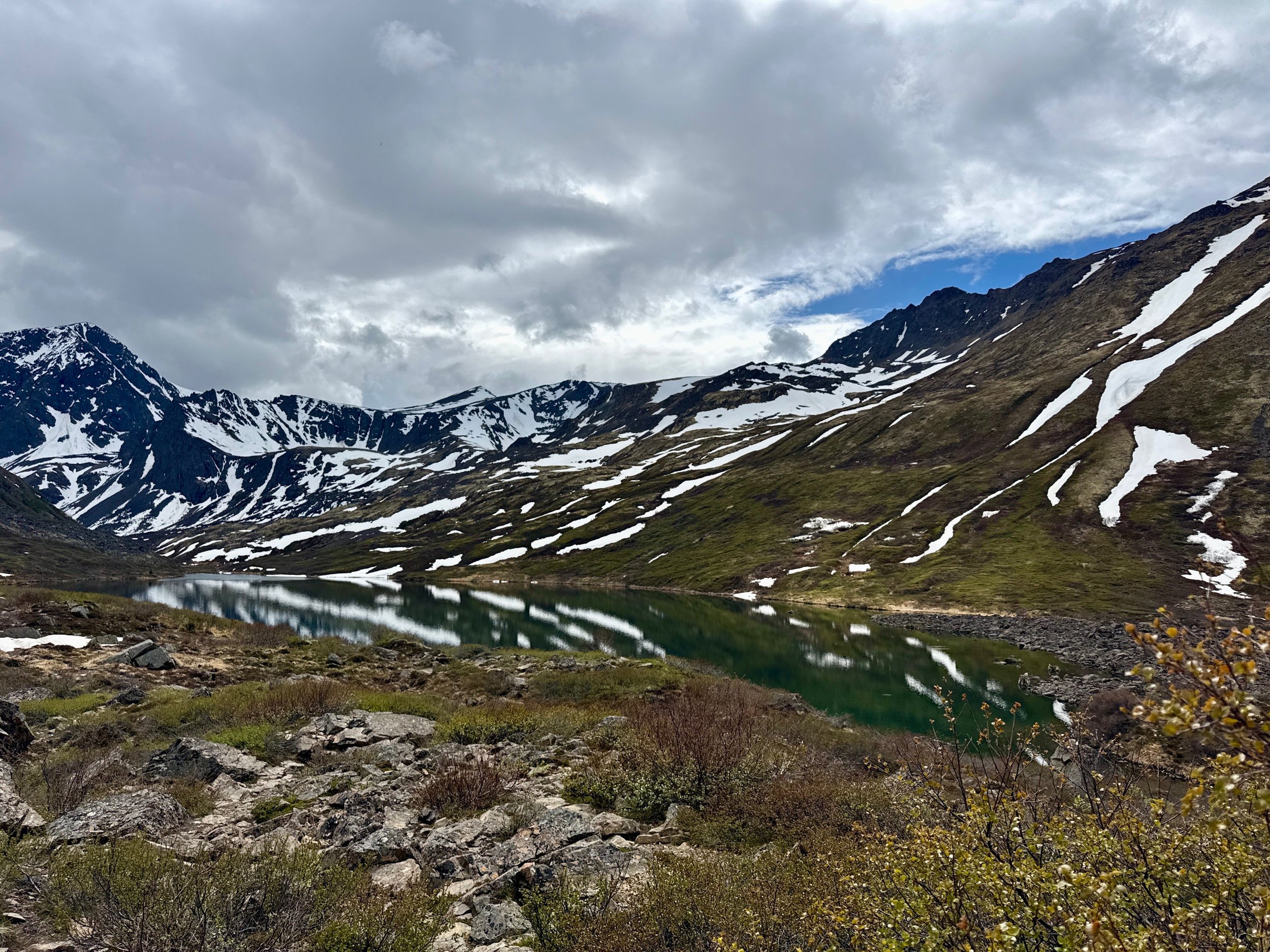
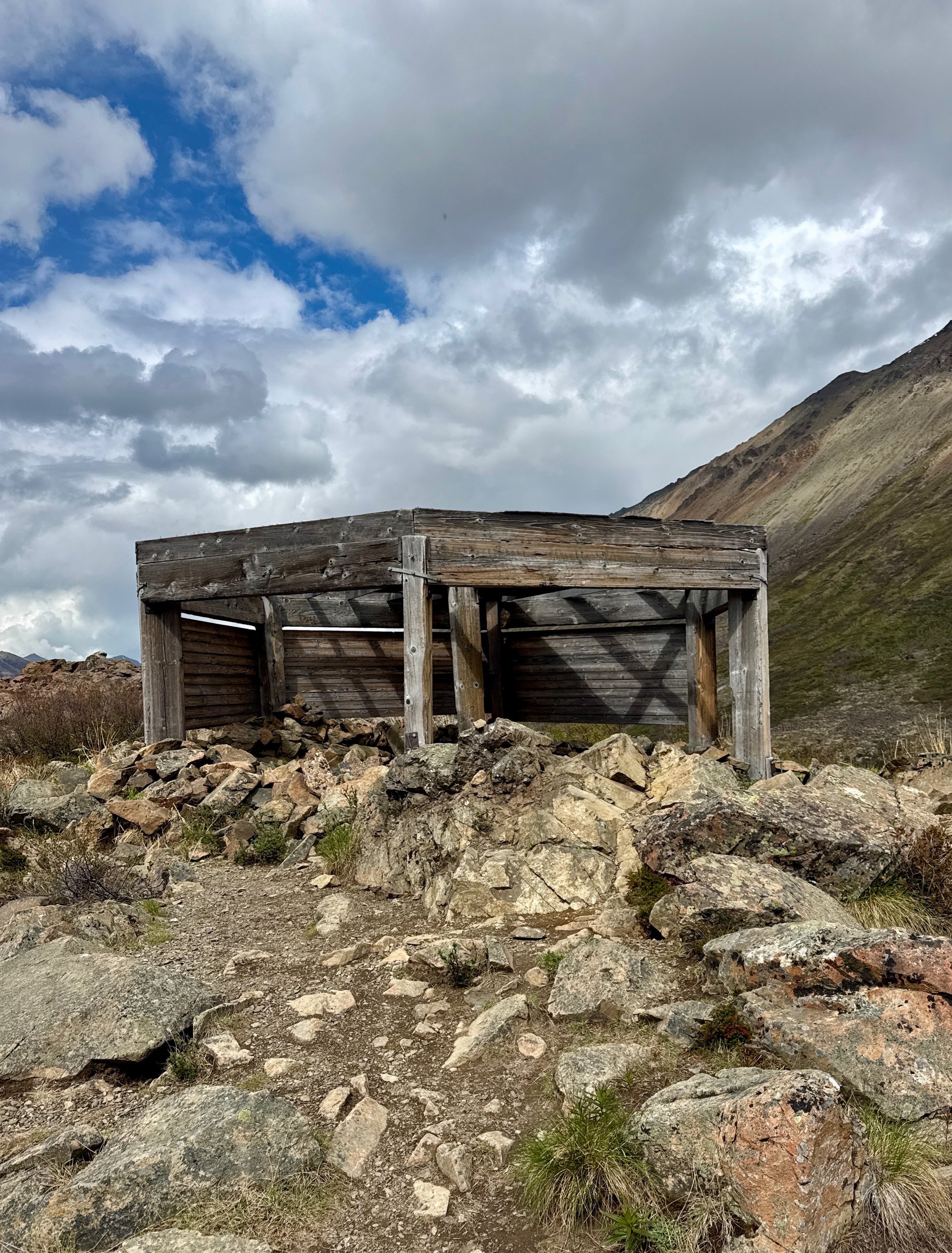
Eventually, you’ll leave the boulders behind and reach the unfinished cabin at the near end of the isthmus between the two lakes.
Ladies, we had hoped to offer another overnight Condition for the Hunt in July. However, the organizers/leads are so busy we are forced to keep the much requested Symphony Lake event to a day trip. We will be including a special “educational topic” to the hike… lake fishing! :) This was a special request of huntress Kaci as she is an avid flyfisherwoman. We will be sending out a suggested gear list prior to the event and holding a Zoom to answer any questions you may have. We’ll set a date based on availability of attended hikers.
WHA Conditioning for the Hunt
Date: Saturday, July 18th
Meet Up Time: 8:00am
Trail(s): South Fork Valley Trail
Meet Up Location: South Fork Valley Trailhead. To get to the trail head, take Eagle River Loop/Hiland Drive exit off the Glenn Highway. Follow it onto Hiland Drive, turn onto Hiland Drive and follow it up and over the South Fork of Eagle River. Just after the South Fork Bridge, take a right onto South Creek Road and follow it to West River Drive where you'll take a right. The parking lot is on your left.
Parking Fee: $5 (can pay at the machine for State Park)
Distance: 11 miles
Intensity: Moderate
Elevation Change: 1528 ft
Estimated Time (one way): 3+ hrs
Educational Topic: Lake fishing.
Trail Description: From the South Fork Eagle River Trail parking area, it takes just a few minutes to climb above the trees to more open country. Once on the bench, high on the valley’s east side, the trail turns up the valley. You won’t yet see the lakes, but you will see the mountain near where they lie—Cantata Peak, the dominant mass that fills the valley’s upper end.
After about 1 mile of hiking up the bench, the trail drops into the valley and crosses a wide and substantial bridge over the South Fork Eagle River (which drains both lakes).
After winding its way up and down over bumps and ridges and through stands of spruce and aspen, the trail crosses to the far side of the valley.
There, it passes the unmarked Hanging Valley Trail on the left and turns right to head straight up the valley.
Before long you’ll reach a boulder some 5 feet high, in a clearing on the right. This makes a fine place for a quick break. It also makes a good vantage point from which to scout: From its top, particularly tall people may be able to see the waters of Eagle Lake.
The trail climbs very gradually through some rough, rocky, and wet terrain; your next landmark is the small bridge that crosses the outlet of Eagle Lake.
Across that bridge, the trail enters a large moraine field—piles of boulders left behind in a glacier’s passing. Here the footing turns especially tricky, and it is easy to lose the trail as it winds around and over the chaos of stones. After crossing the bridge, the trail bares to the right, follow the trail to the right and as the trail rises look to the left and follow the cairns in the distance. Just keep Eagle Lake within view on your left and head toward Cantata Peak.
Eventually, you’ll leave the boulders behind and reach the unfinished cabin at the near end of the isthmus between the two lakes.